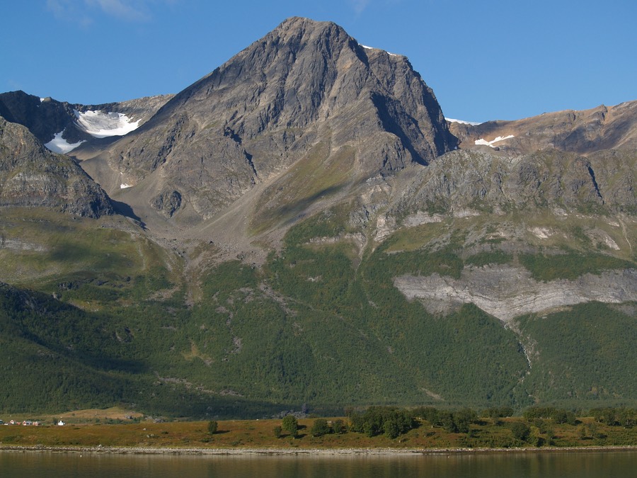
The South and East face of Karltinden (1214) as seen from Kjosen in Lyngen.
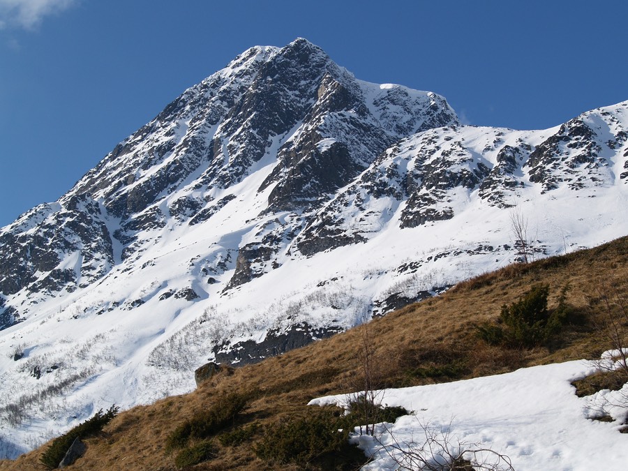
Karltinden is the highest point on Nakkefjellet / Náhkkevárri, a mountain situated between Breivikeidet / Nakkedalen and the West side of Ullsfjorden.
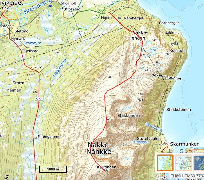
A brief route description of the North ridge route: Follow the signs towards the golf park at Breivikeidet and continue on this road until you reach a military restricted area. Walk up to Nakkeenden and follow the North ridge all the way to the summit. The route is marked on the Tromsø fastland map.
Due to spring and lack of snow on the lower part of the ridge, I skied to the East of the ridge before reaching the North ridge near Point 736.
Ski ascent: 6. May 2006.
Due to spring and lack of snow on the lower part of the ridge, I skied to the East of the ridge before reaching the North ridge near Point 736.
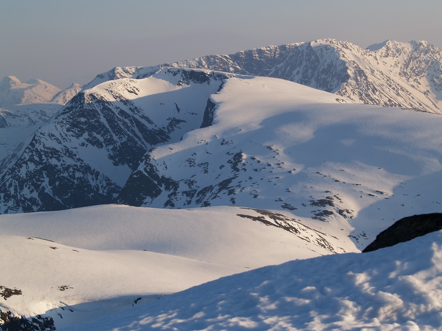
A view from the summit towards Lavangstinden.
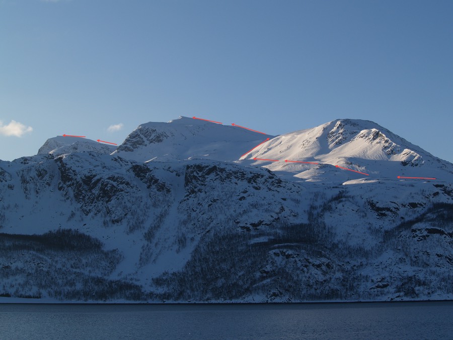
Karltinden SE face from Skarmunken.
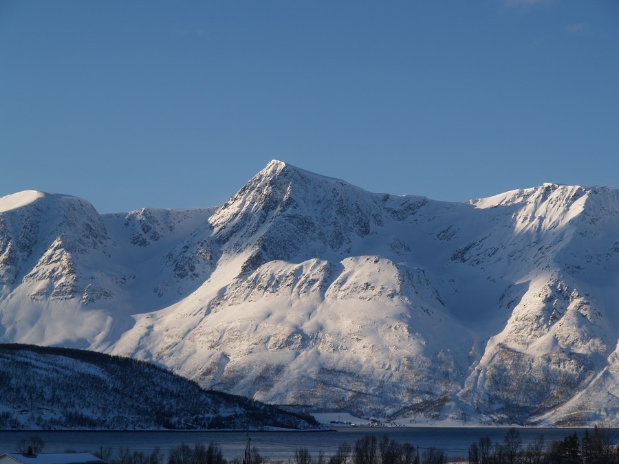
Karltinden from Straumsbukta.