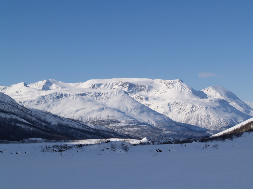
Tverrfjellet is situated on the West
side of Sørfjorden, just South West of Sjursnes.
The mountainwas first climbed on August 16th 1899 by
the British mountaineer Claud Rawlence
together with the Swiss guides Josef and Emil Imboden
From Alpine
Journal 1900-01: New Expeditions in 1899.
SOMMERBUGTTIND (FIRST ASCENT) (aka Store Rieppefjellet, 1295 m). On August 16 Mr. Claud Rawlence, with
the two Imbodens, made the first
ascent of this peak, which is visible from Holmebugt, and is to the west of the Sørfjord. Having
quitted Holmebugt at 8 P.M., they
arrived on the summit at 1.30 A.M. by the East ridge. Descending in a
N.W. direction they reached a glacier lake
at 3 A.M. Thence, ascending over
easy rocks and traversing an upper glacier, they gained at5 A.M. the top of LALABAKTIND (FIRST ASCENT)
(aka Sennedalfjellet,
1395 m),
which is the highest summit of the group. Thence, passing along a long
aréte and over another but less
well defined summit (Tverrfjellet,
1394), they traversed a narrow and interesting ridge, and arrived on the top of the SKJURSNOESTIND
(FIRST ASCENT) at 8
A.M. The descent to Sørfjordens Kirche was made by narrow snow couloirs down
the east face, the fjord being
reached at 11 A.M. The weather during the morning was fine.
A brief description of the South face route: Start from Ritaneset
which is situated approx. 3 km South of Sjursnes. You can park by the
marina.
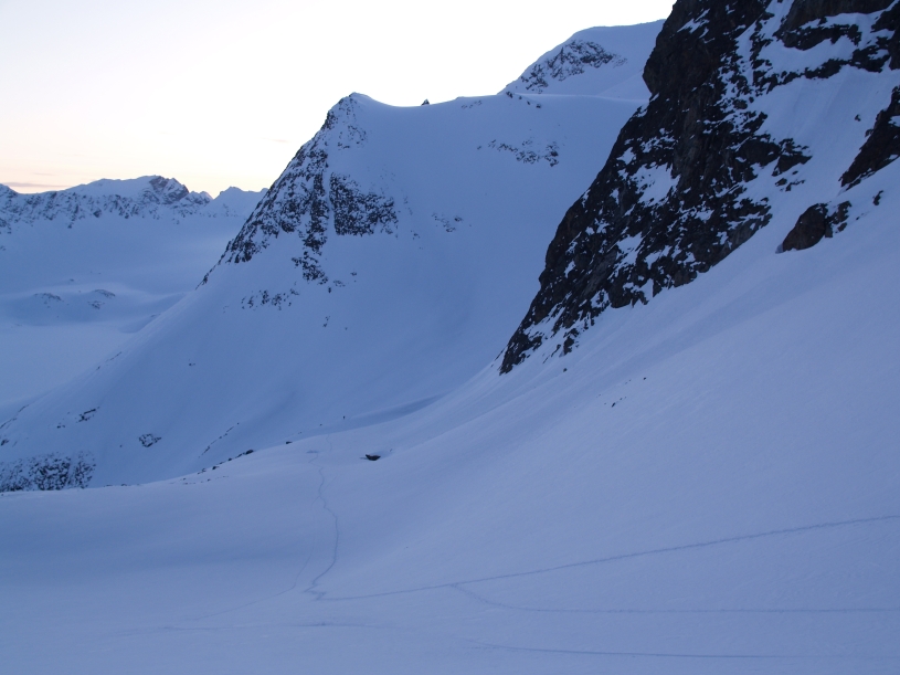
Follow Ritadalen up to Andredalen and then up to Tredjedalen.
From 700 m above sea level follow the huge colouir that leads up to the
glacier below
the summit
of Sennedalfjellet (1395). Turn right at around 900 m and follow a
hanging
valley nearly
all the
way to the summit. Snowboard
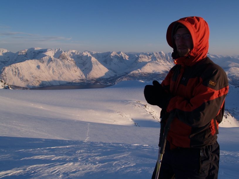
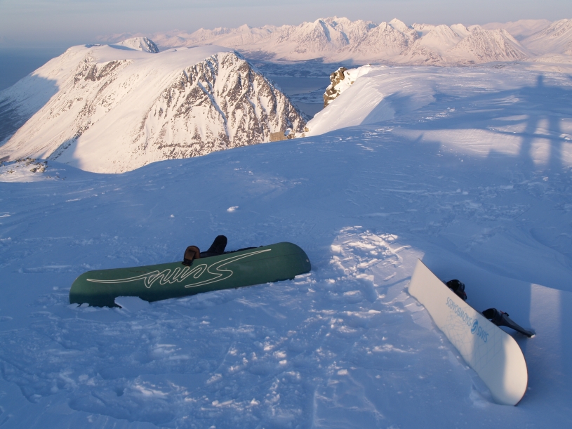
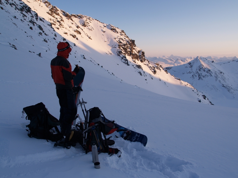
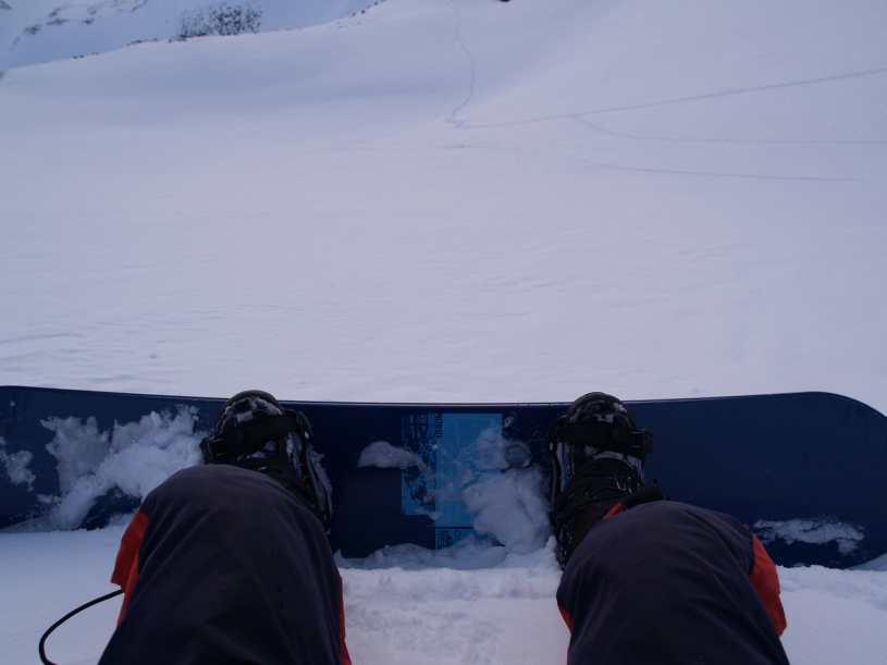
descent by Matthias Gunsch and Geir Jenssen, 8. mars 2009.
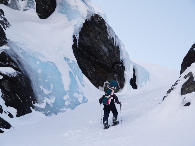
The Sami name for Ritadalen is Guršavággi. Guršu means "a deep and narrow gorge".
This gorge was partly filled with snow from a huge
avalanche and could be a potentially dangerous place during periods of
avalanche danger.
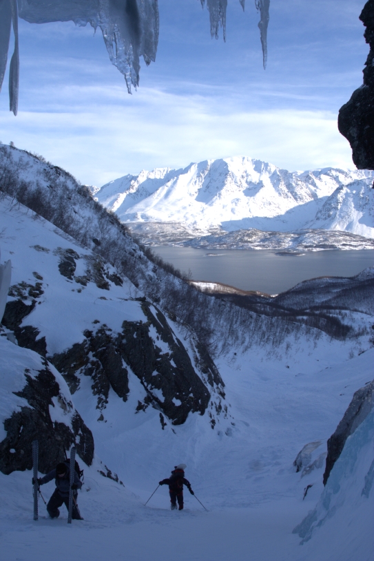
Looking down
the gorge towards Sørfjorden and the Lyngen peninsula.
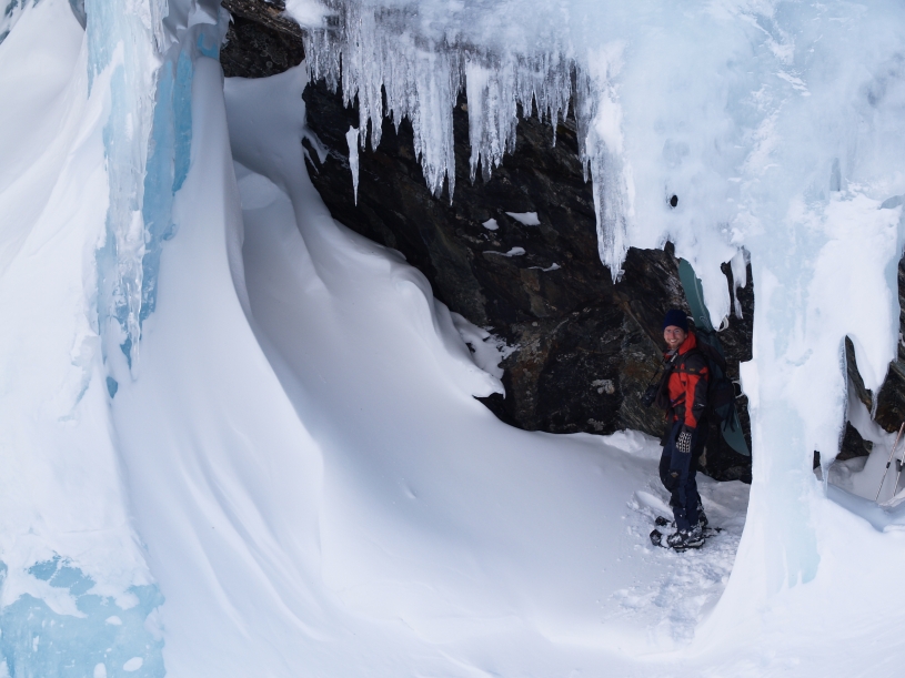
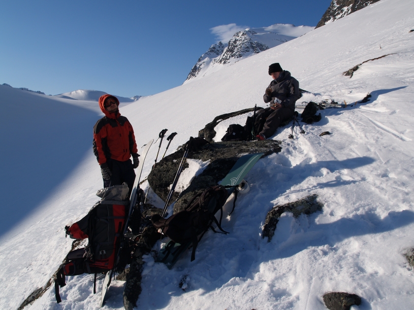
An ice cave that could be a nice bivouac site.
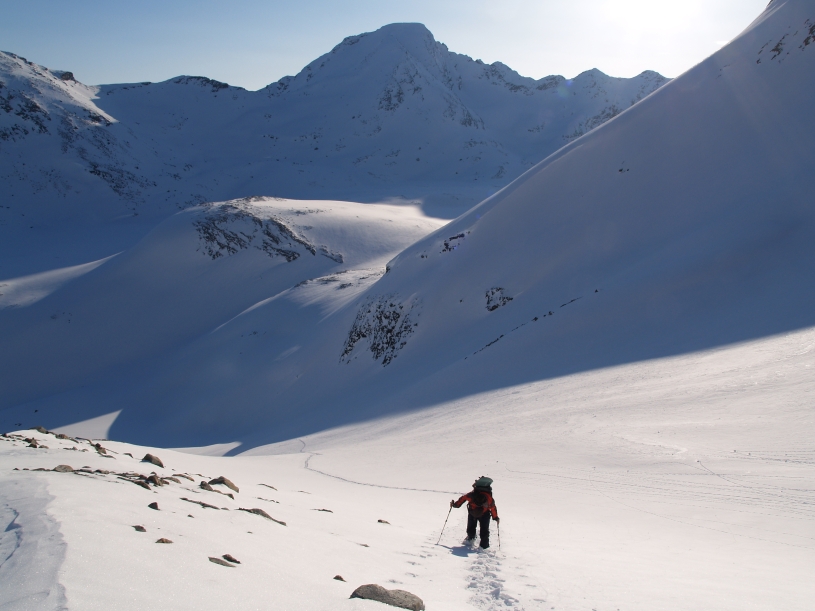
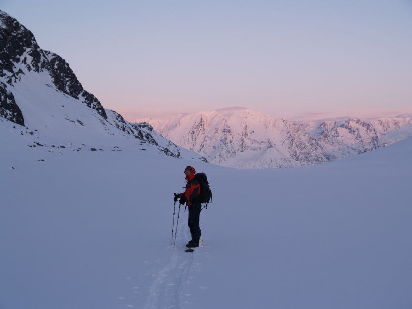
We finally reached sunshine in Tredjedalen. Further behind is
Fjerdedalen!
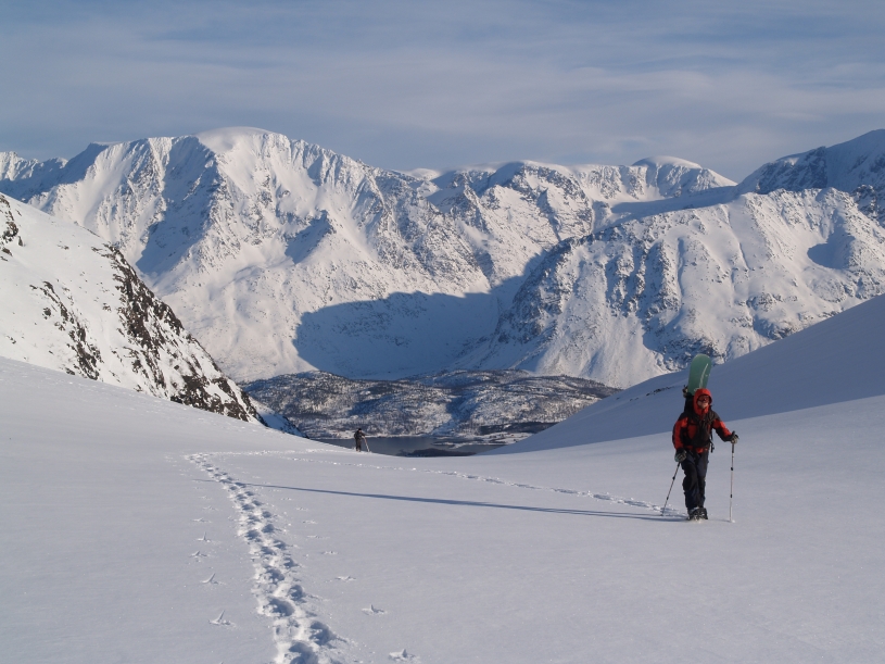
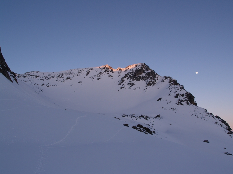
A view from Tredjedalen towards Loddevárri (1686).
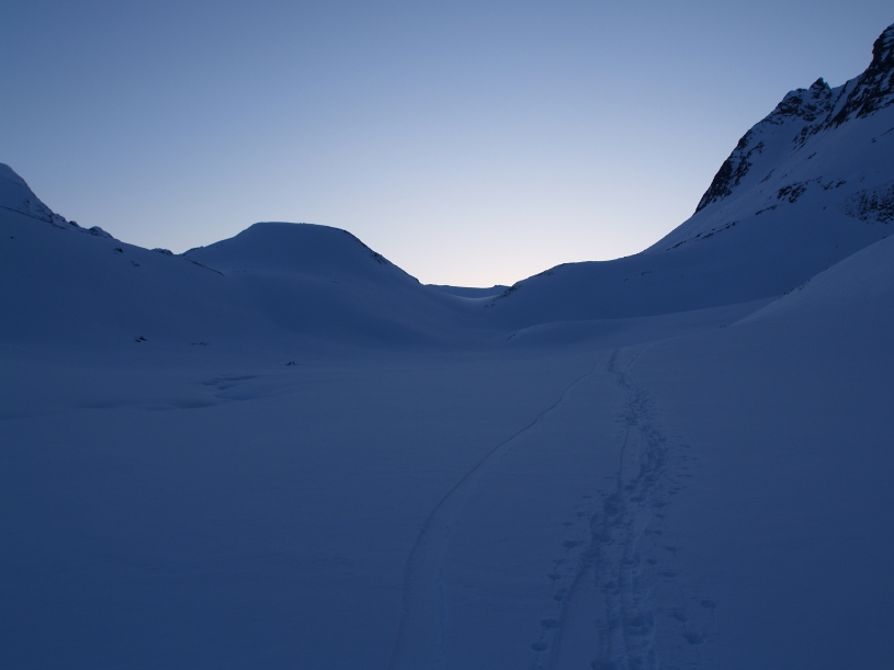
Tredjedalen. Almost untouched by humans.
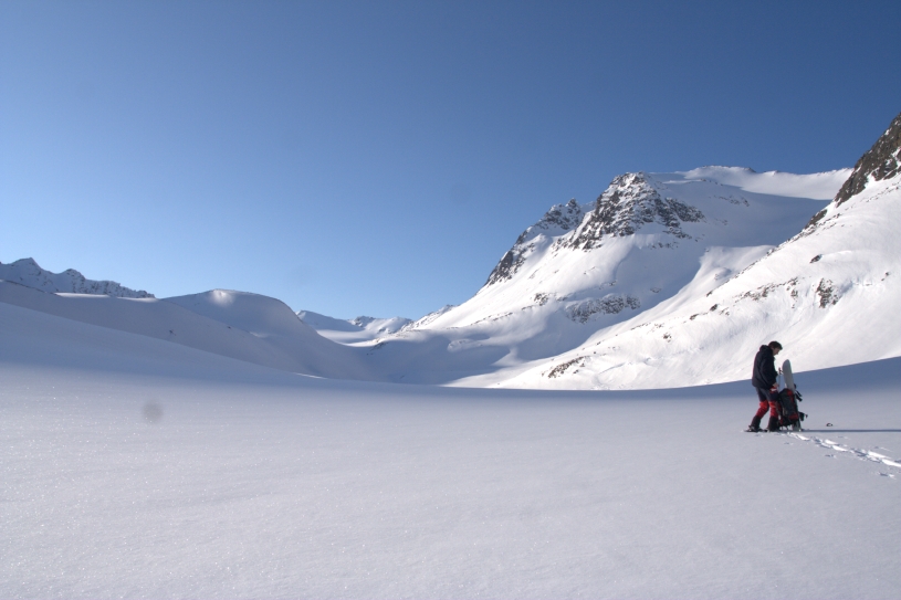
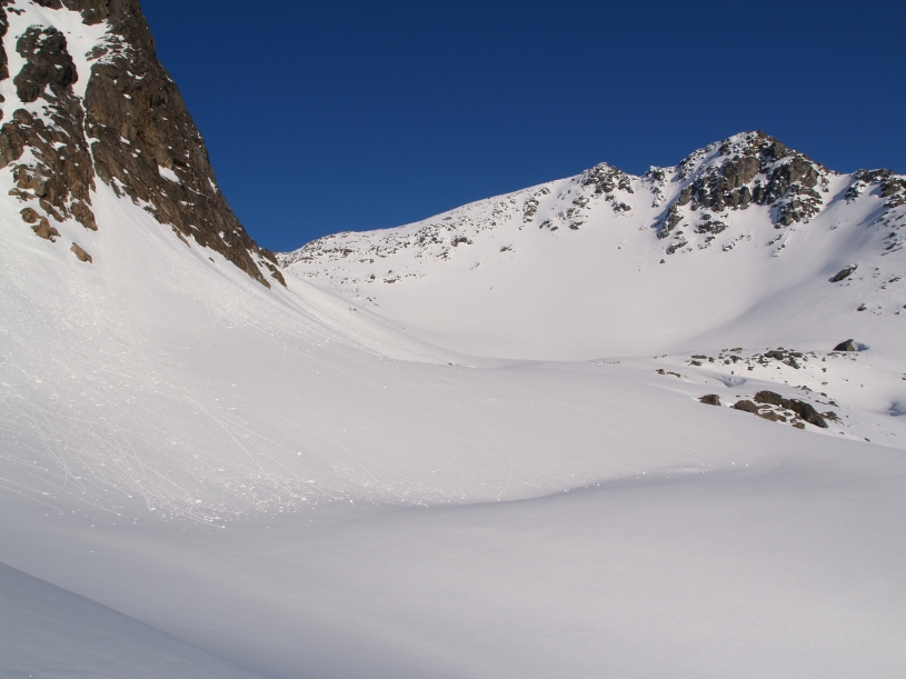
Our route follows
the huge colouir that leads up to the glacier below the
summit of Sennedalfjellet
(1395).
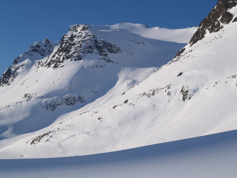
Looking down the colouir. Matthias Gunsch reaches a moraine at 900 m.
Turn right at
around 900 m and follow this hanging valley nearly all the way to the summit.
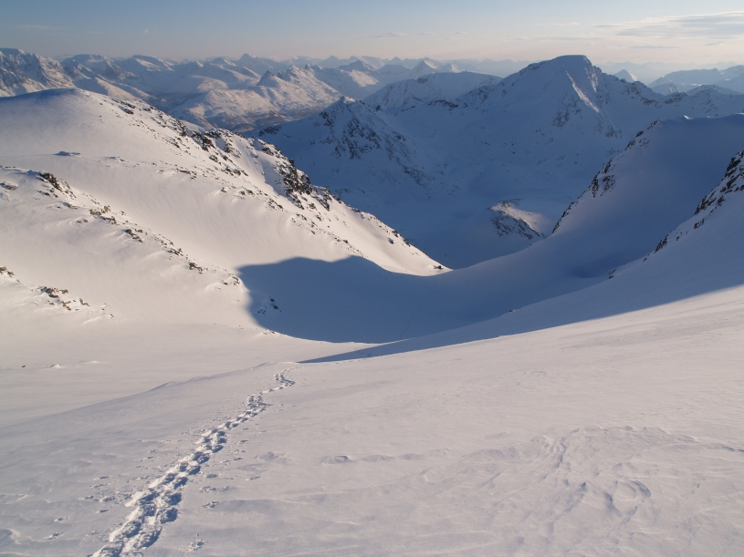
The summit to the right is Point 1247.
Looking down the hanging valley from around 1300 m.