Botnskartinden (1494), Balsfjord.
Botnskartinden as seen from the summit of Likjefjellet with the South ridge to the right.
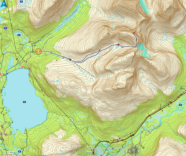
A short route description of the South ridge route: Start from the farm Tverrelvnes north of Fjellfrøsvatnet where you will find a marked dirt road that follows the power lines in the valley Gievdnevággi. After 2.5 km - where the dirt road crosses the river - leave the road and follow the Northern arm of the valley on very easy terrain towards the lake at 900 m. Climb up to the Col at 1200 m and continue on the South ridge (30-35°) to the summit. The surface is mostly scree with a few snow patches here and there.
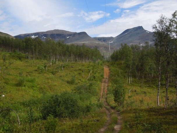
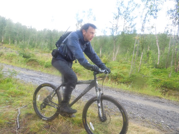
The dirt road in Gievdnevággi - leading up to a Sami camp - is actually a good mountain bike road.
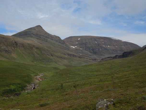
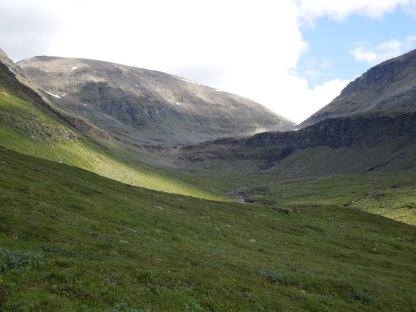
The Northern arm of the Gievdnevággi with Rismålstinden to the left and Botnskartinden to the right.
On easy terrain.

A rain shower on its way.
Great bicycle terrain
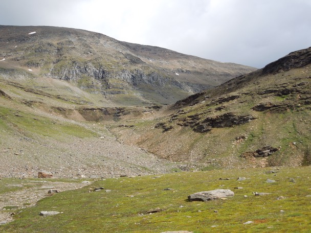
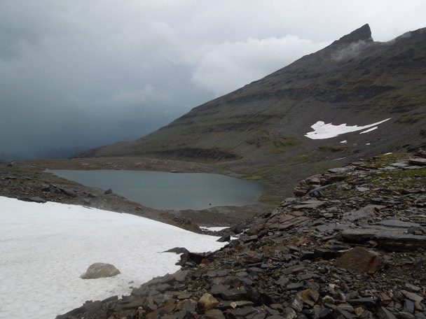
A view towards the lake at 900 m and the route to the Col south of the summit.
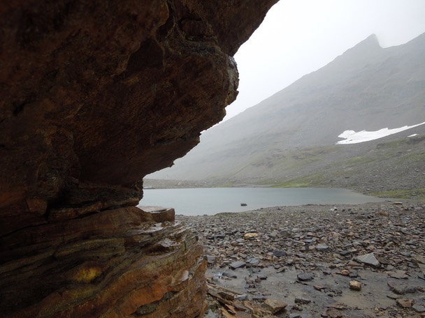
Hiding under a cliff from a rain shower.
Another rain shower on its way. Rismålstinden to the right.
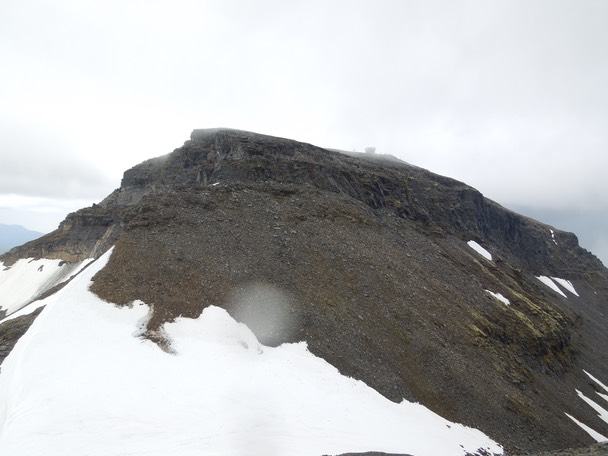
The last glimpse of Likjefjell before I entered the fog.
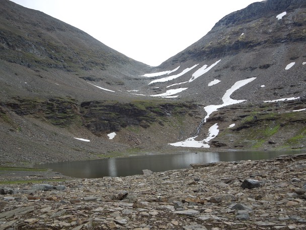
Back by the lake.
Back in Svensborgdalen, soaking wet.
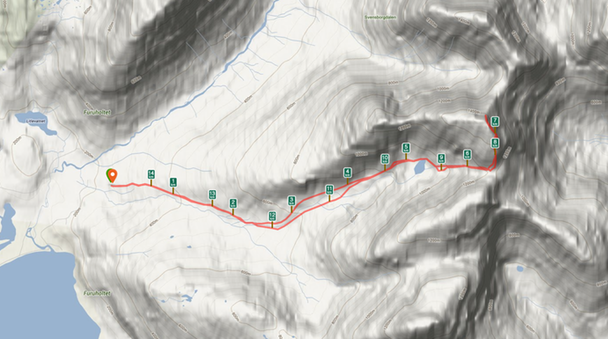
Distance to the summit: 7.5 km. Total climb: 1256 m. Time to the summit: 1:49.
Climbed 5. August 2013.