Bárrás / Parastinden (1419), Storfjord.
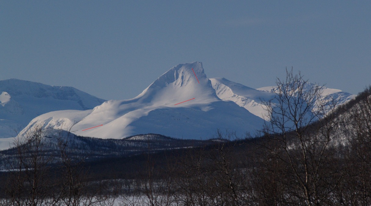
A telephoto of Bárrás as seen from Kilpisjärvi in Finland.
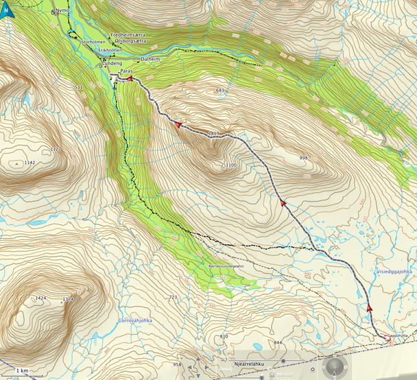
A short description of the East ridge - NW ridge traverse. There is parking at the end of the road at Rognli in Signaldalen. Follow the dirt road up Parasdalen / Bárrásvuovdi towards Gappohytta near the Swedish border. The distance to the cottages is 10 km. Leave the path after 5-6 km and climb up the grassy hills towards the small lakes (1050) below the East ridge. The ridge is an easy walk (30-35°) all the way to the summit and is marked with small cairns. The descent down the NW ridge is a little more exposed, but still straightforward.
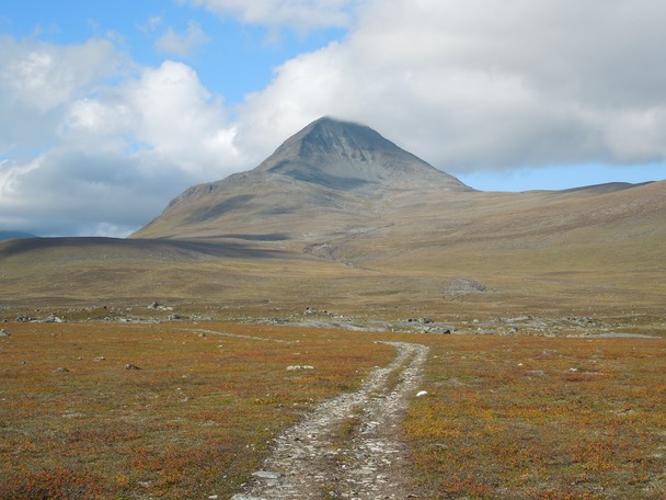
Bárrás from Signaldalen with the East ridge to the left and the NW ridge to the right.
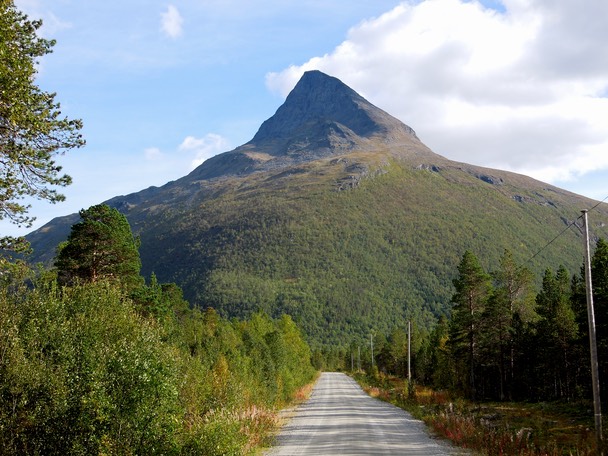
Bárrás from Parasdalen. The East ridge is the right-hand skyline.
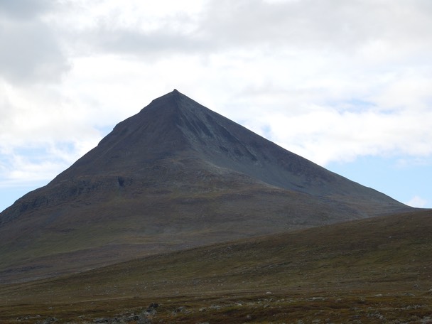
Bárrás as seen from the dirt road near Gappohytta.
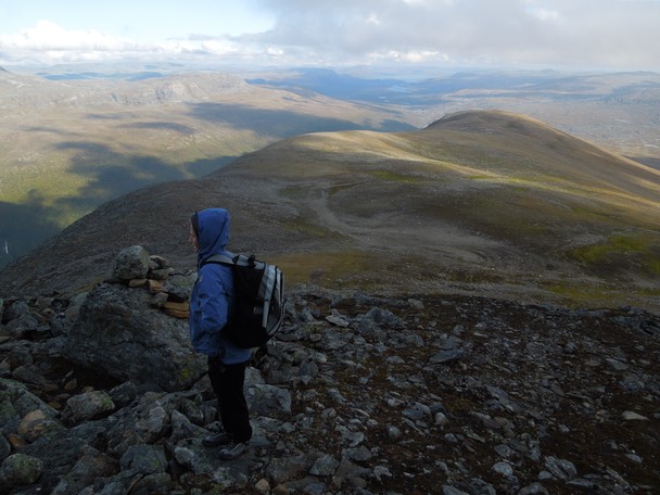
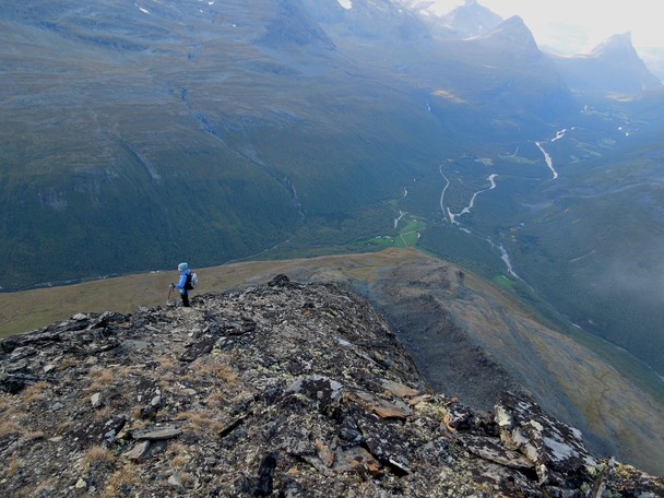
On the lower part of the East ridge with Kilpisjärvi in the distance.
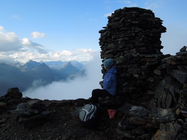
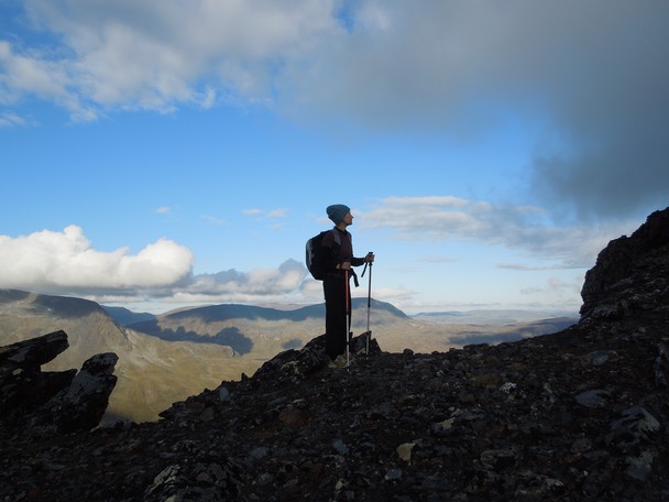
On the summit ridge.
Looking towards Otertinden.
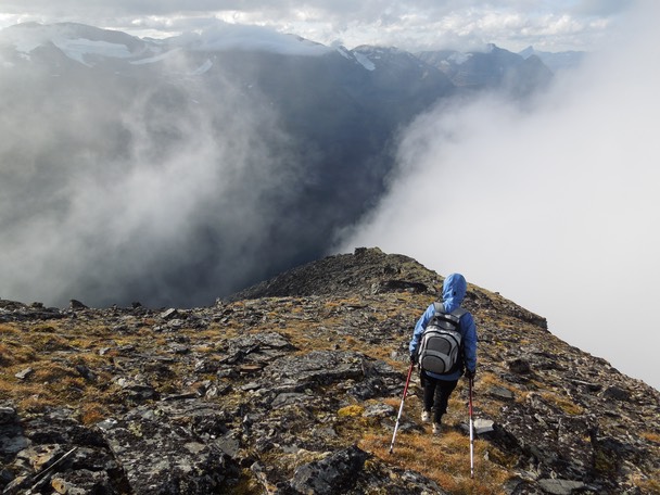
The descent down the NW ridge is a little more exposed, but still straightforward.
Signaldalen.
On the ridge.
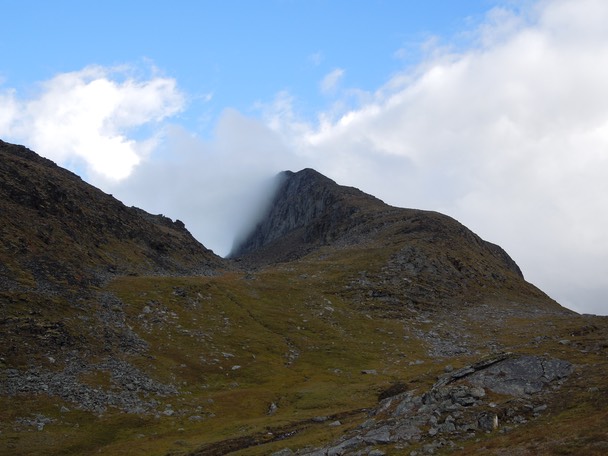
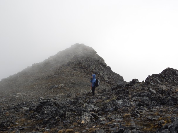
Looking up towards the NW ridge.
Climbed by Hanne Brochmann and Geir Jenssen, 2. September 2013.
Distance from Gappohytta to Bárrás: 7,2 km. Duration: 2 h 15 m. Total climb: 779 m.
Total distance Gappo > Bárrás > Rognli: 10,4 km. Total duration: 4 h 35 m. Total descent: 1367 m.