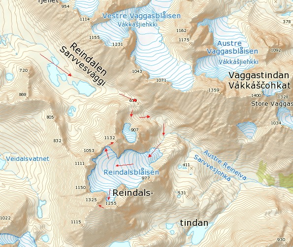
Bryllupstinden (1325) and Isvasstinden (1132) belongs to the group Reindalstindan, situated to the East of Sørlenangen in Lyngen.
Bryllupstinden was first climbed in 1915 by the German couple Oda and O.D. Tauern on their honeymoon. The original route follows the S/SW ridge.
Isvasstinden was first climbed in 1957 - via the North ridge - by the British team TJC Christie and PM Gerrard.
A short route description: the approach is rather long. Start from Lenangen skole and follow the valley Reindalen / Sarvvesvággi for 10 km. The terrain is extremely easy to be Lyngen. Beware east facing snowdrift when skiing down from the highest pass (610) in Reindalen towards Reindalsblåisen. The glacier Reindalsblåisen is straightforward with very little crevasse danger - at least in winter. More details below.
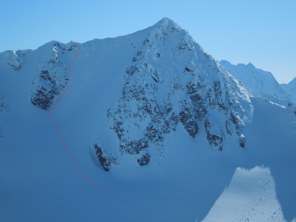
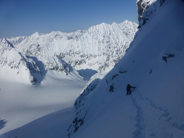
The North face of Bryllupstinden (The Wedding Peak) (1325) as seen from Isvasstinden. We skied up to the black cliff to the left - which is actually the bergschrund at the top of the glacier - and climbed on foot to the summit ridge. Approx. 170 m, 50-55°. We then followed the East ridge to the summit which is only 250 m away.
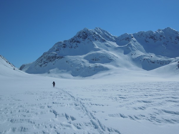
Isvasstinden from Reindalen.
Avalanches? Where?
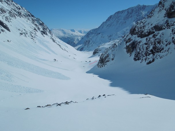
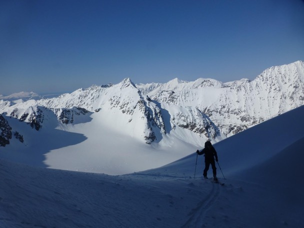
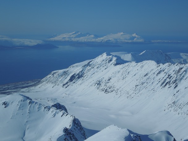
A view from the pass (610) looking down the eastern part of Reindalen towards the Lyngen fjord. The red arrow marks the entrance to the glacier Reindalsblåisen.
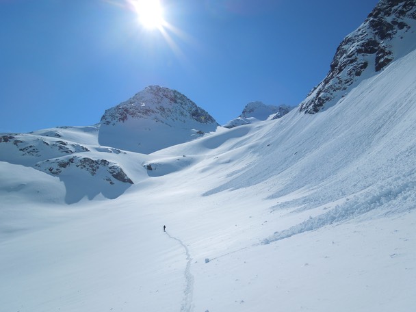
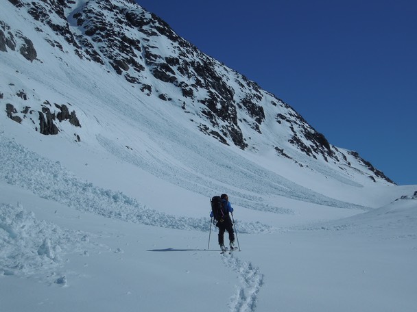
Approaching the glacier Reindalsblåisen.
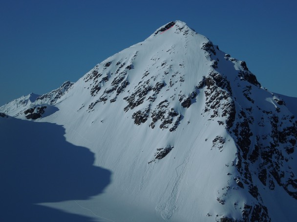
Bryllupstinden from the glacier. But where is the highest point? We decided to climb Isvasstinden first in order to get a better view of the mountain.
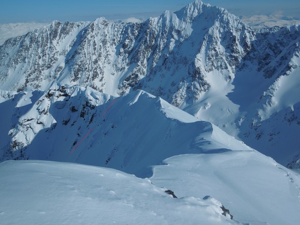
Isvasstinden. We skied the lower part of the South face (45°) until we gained the South ridge (left) which we followed to the summit. Approx. 250 m, 45°. We kept to the right of the cliff right under the summit (see the red arrow) to avoid the snow covered rock.
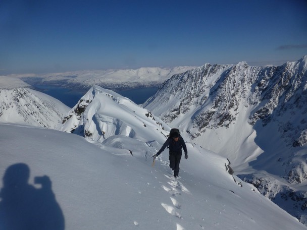
On the South ridge.
Isvasstinden´s mini Hillary Step.
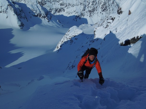
Geir just below the summit.
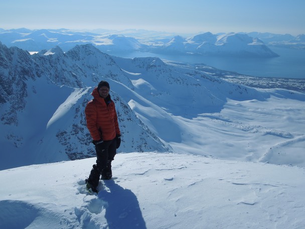
Geir on the summit of Isvasstinden.
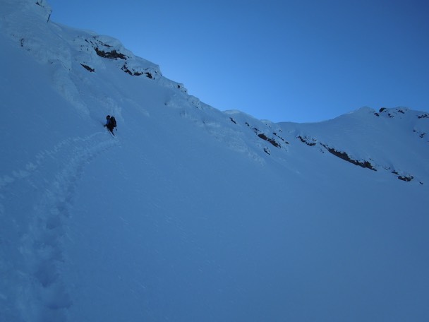
Descending the South ridge.
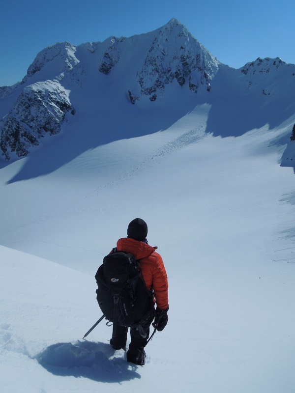
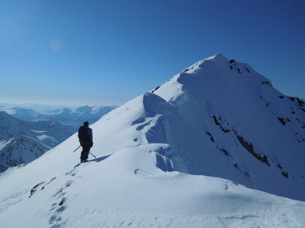
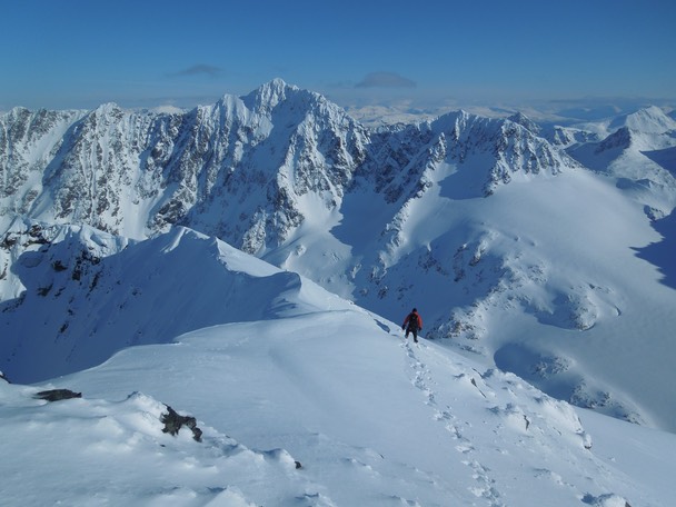
The next goal, Bryllupstinden.
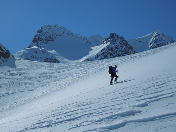
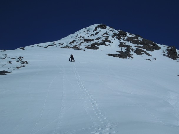
Skiing towards Bryllupstinden.
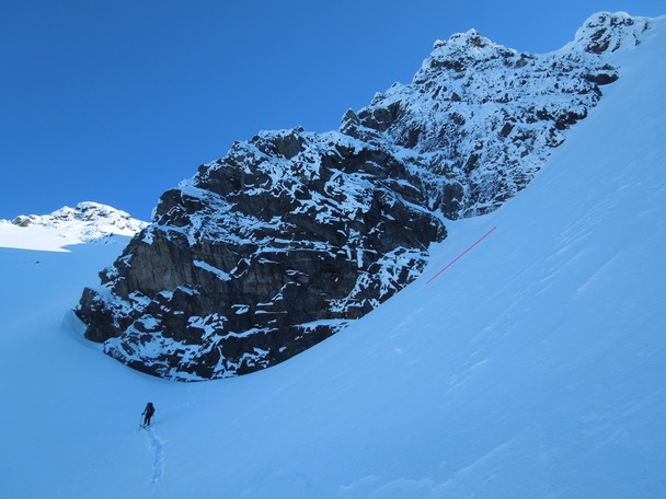
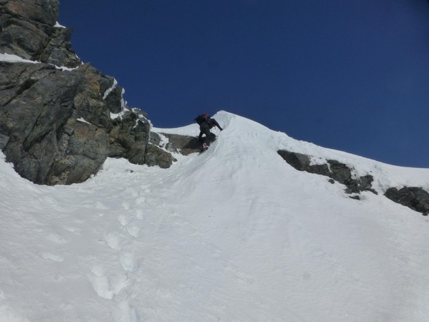
We left the skis by the bergschrund under this overhanging cliff and climbed on foot to the summit ridge. Approx. 170 m, 50-55°.
Isvasstinden from the bergschrund.
Kent Hugo, the track maker.
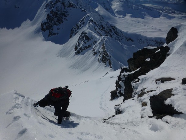
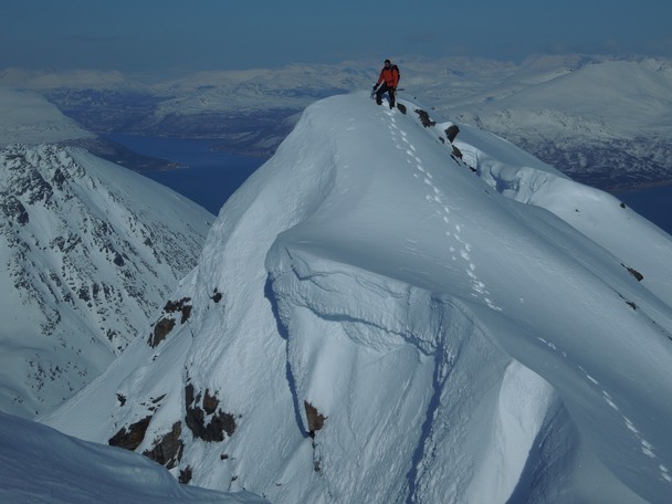
The exit to the summit ridge on Bryllupstinden.
On the summit ridge.
Looking towards the summit.
Kent Hugo on the summit.
Looking towards Reindalen with Vannøya out in the sea.
Returning towards the north face.
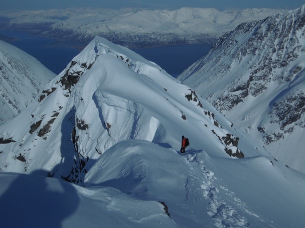
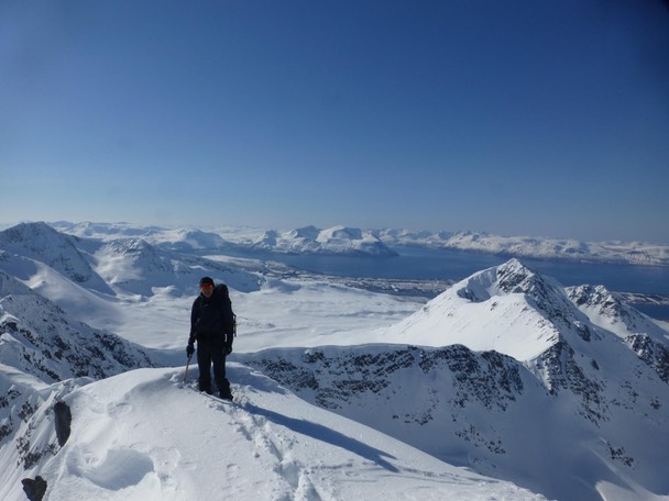
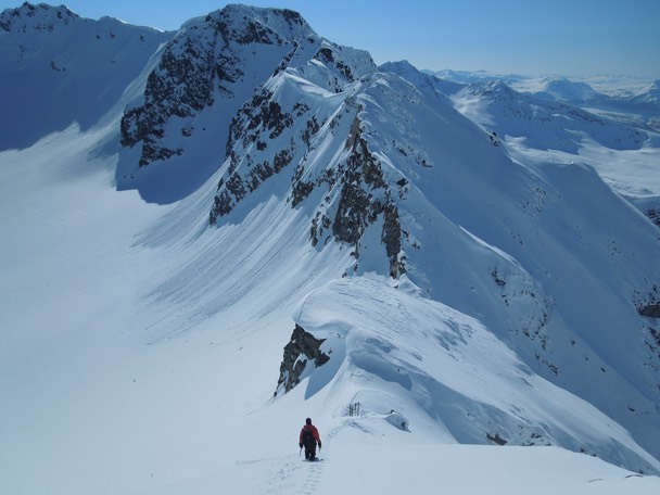
Kent Hugo on the corniced East ridge with Rotsundet and Lyngenfjorden in the distance.
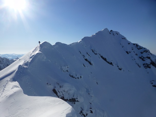
Geir on the East ridge with the summit to the right .
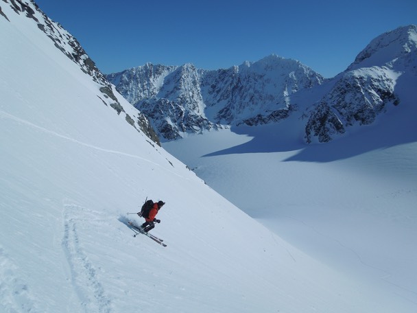
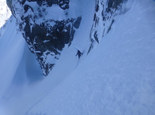
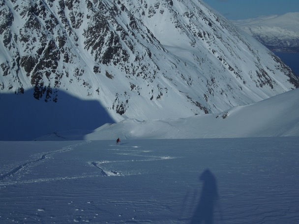
Kent Hugo starts the descent on the North face.

Bryllupstinden from the glacier.
Skiing towards Reindalen.
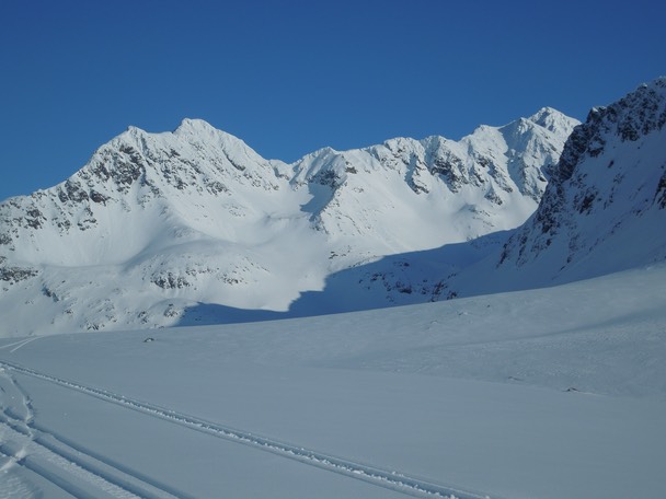
Isvasstinden (left) and Bryllupstinden (right) as seen from Reindalen
Climbed by Kent Hugo Norheim and Geir Jenssen, 8. May 2014.
Total distance: 25 km. Total climb: 2.210 m.
All photos by Geir Jenssen and Kent Hugo Norheim.
Kent Hugo´s trip report can be found here.