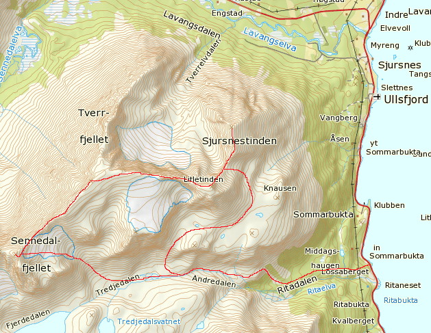
Litletinden (1235) as seen from Sørfjorden.
Litletinden was first climbed on August 17th 1899 - via the West ridge - by the British mountaineer Claud Rawlence together with the Swiss
guides Josef and Emil Imboden
From Alpine Journal 1900-01: New Expeditions in 1899.
SOMMERBUGTTIND (FIRST ASCENT) (aka Store Rieppefjellet, 1295 m).
On August 16 Mr. Claud Rawlence, with the two Imbodens, made the first ascent of this peak, which is visible from Holmebugt, and is to the
west of the Sørfjord. Having quitted Holmebugt at 8 P.M., they arrived on the summit at 1.30 A.M. by the East ridge. Descending in a N.W.
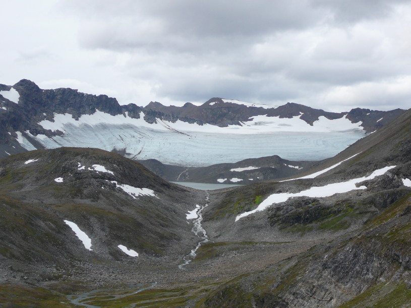
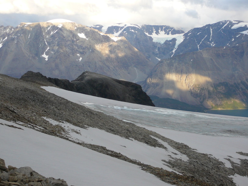
direction they reached a glacier lake at 3 A.M. Thence, ascending over easy rocks and traversing an upper glacier, they gained at5 A.M.
the top of LALABAKTIND (FIRST ASCENT) (aka Sennedalfjellet, 1395 m), which is the highest summit of the group.
Thence, passing along a long aréte and over another but less well defined summit (Tverrfjellet, 1394), they traversed a narrow and interesting
ridge, and arrived on the top of the SKJURSNOESTIND (FIRST ASCENT) at 8 A.M. The descent to Sørfjordens Kirche
was made by narrow snow couloirs down the east face, the fjord being reached at 11 A.M. The weather during the morning was fine.
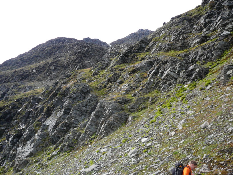
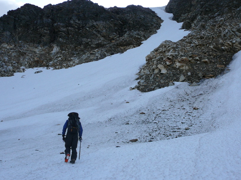
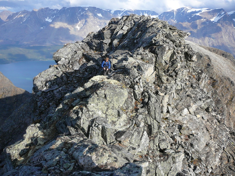
The North face was climbed by Kent-Hugo Norheim and Geir Jenssen on August 30th 2009.
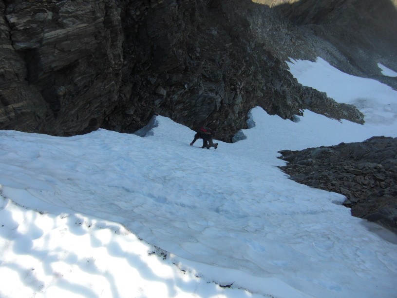
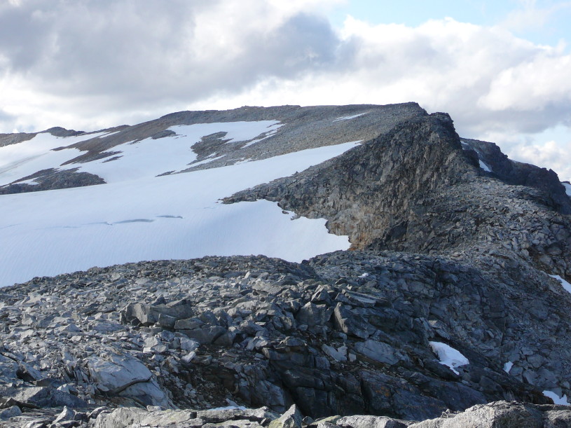
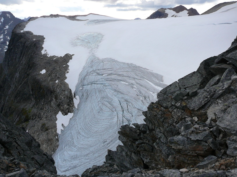
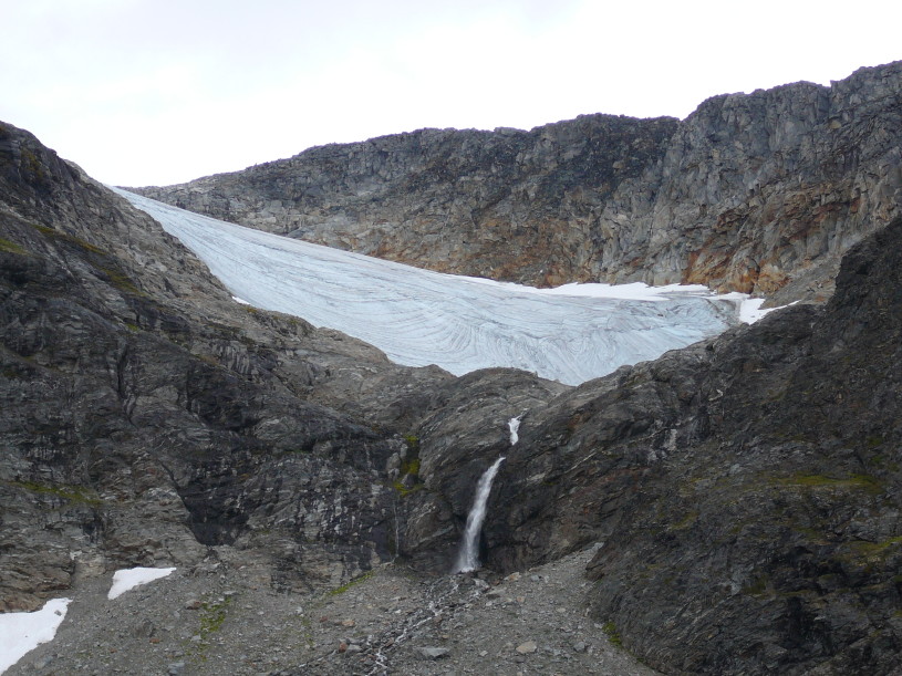
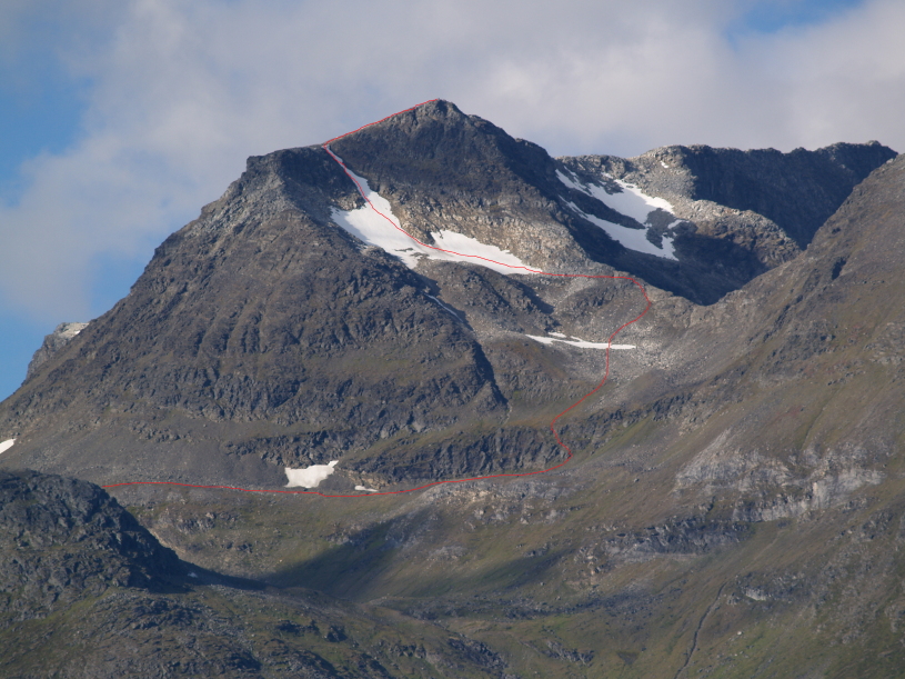
The summit was reached by climbing a couloir (40-50°) which begins as a very broad slope and gradually narrows and steepens to a small notch
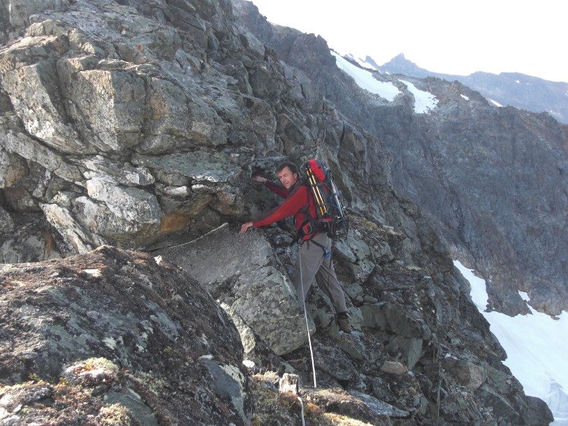
just prior to reaching the summit. The approach to the couloir is rather complicated. See the map and the pictures below.