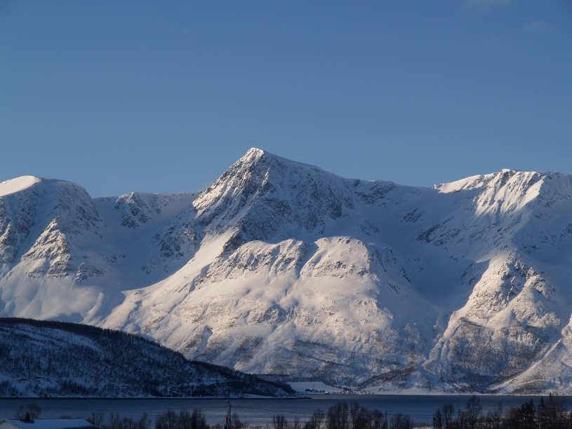
The South and East
face of Karltinden as seen
from Kjosen in Lyngen.
Karltinden is the highest point on
Nakkefjellet / Náhkkevárri, a mountain situated between
Breivikeidet / Nakkedalen and the West side of Ullsfjorden. A brief route description of the
North ridge route: Follow the signs towards the golf park at
Breivikeidet and continue on this road until you reach a military
restricted area. Walk up to Nakkeenden and follow the
North ridge all the way to the summit. The route is marked on the Tromsø fastland map.
Ski ascent: 6. May 2006.
Karltinden can also be reached from
Nakkedalen. Follow the rather steep Vargedalen on the West side
of Nakkefjellet
/ Náhkkevárri up to the hanging vally (600 m)
and follow
the South West ridge to the summit. See picture below. This route is also marked on the Tromsø fastland map.
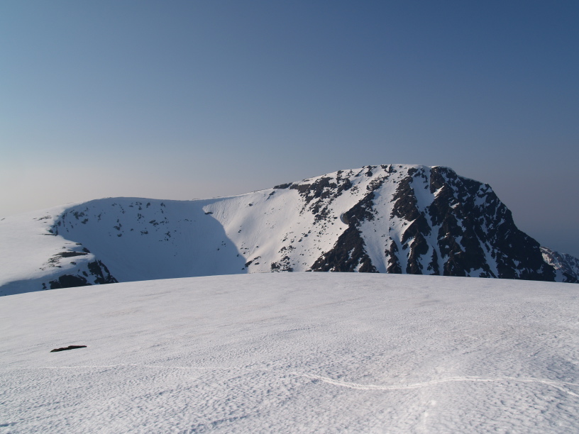
The upper part of the South face of Karltinden as seen from Musnestinden.